PROJECT / 02
E-Land Cadastral Map
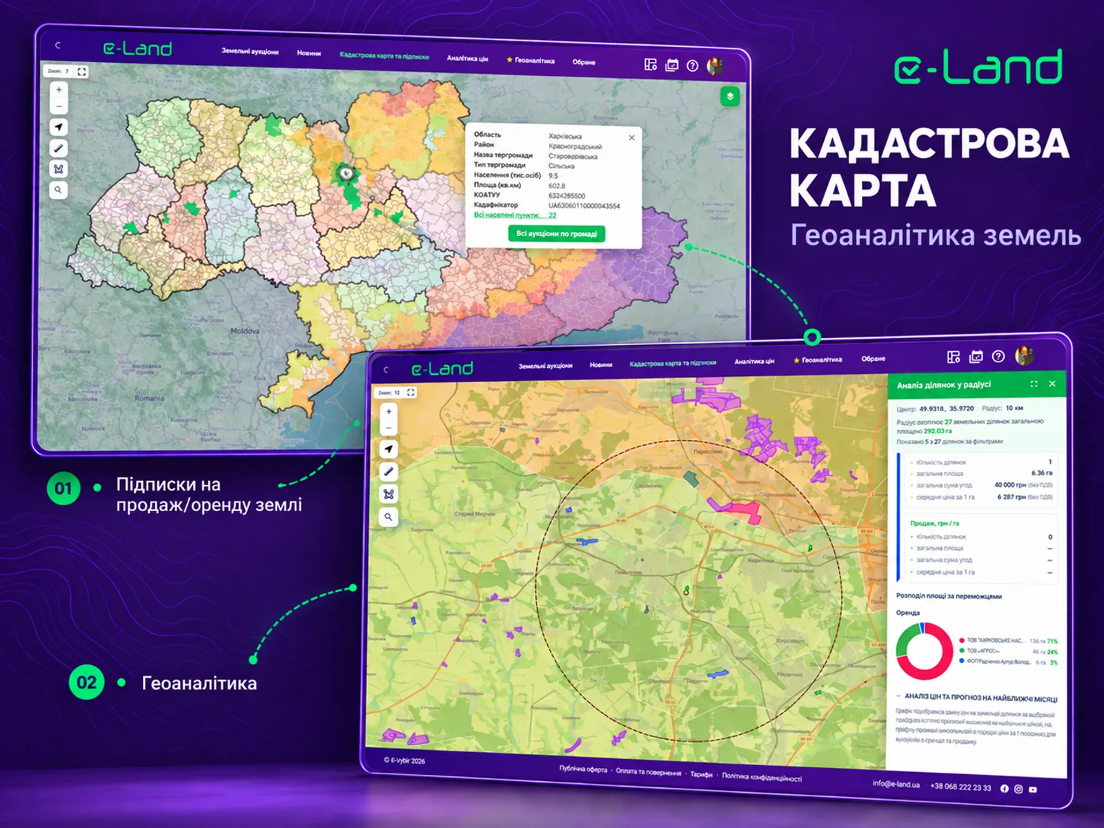
Interactive cadastral map of Ukraine with land subscriptions and geoanalytics. Led the frontend end to end, built from scratch and continuously maintained with new features.
OVERVIEW
The cadastral map is the maps product of the e-vybir platform: land plots across Ukraine on an interactive map, with subscriptions for land that is for sale or for rent and geoanalytics on top.
I led the frontend end to end. It was built from scratch with Vue 3, Nuxt 3, TypeScript and Leaflet, and has been extended with new features since 2023. Radius-based analysis lets a user pick an area and see plot area and price statistics, with price analysis and forecasts for nearby plots.
Delivered at e-vybir (Sep 2019 - Sep 2026). Read the e-vybir case study
PRODUCT FUNCTIONALITY
What it brings
together.
- Interactive cadastral map of land plots across Ukraine
- Subscriptions for land for sale and rent
- Radius-based plot analysis with area and price statistics
- Price analysis and forecasts for nearby plots
RELATED PROJECTS
More projects.
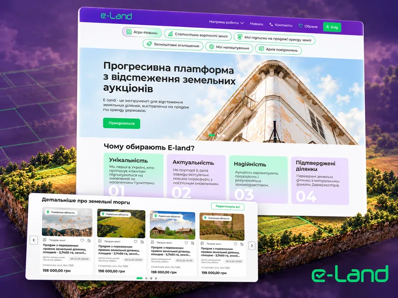
Land Marketplace
Map-based land discovery with subscription alerts, detailed plot information and advanced filtering.
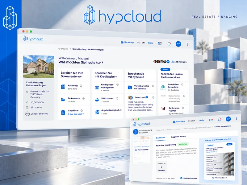
hypcloud
A marketplace connecting German real-estate developers with banks and lenders for project financing. Senior Frontend Engineer, one of two core frontend engineers on the Vue 3 app.

Car Sharing App
Vehicle listings, preference-based search, and rental or swap journeys for owners and drivers.